Kings
Peak 13,528', Uinta Mountains, Utah
Originally published 2014
 |
King's Peak (center), Uinta Mountains, Utah's Highest Peak |
For a
couple of years, I had been putting a little bug in Boy Scout Troop 461's ears
that we should climb Kings Peak in Utah's UintaRange. Buy a Map here!
During the
prior two summer camps, the boys have participated in the High Adventure
programs. We have done exciting things like kayaking the Bear River and
rappelling into the Paris IceCave. And of course, the 36 mile backpack trip into
the Yellowstone backcountry in 2013.
This year,
since we have done all the high adventure, they declined summer camp and
planned their own adventure.
They decided
on Kings Peak and set a date- July 18-20, 2014. There was not much time to prep for this trip. I
wasn't worried about the boys because they are all in such great shape. It was
me that I was worried about!
The day we
headed out was a busy morning for Josh as it was test day for a summer workshop
he was attending. He and I had to leave after the rest of the group. Brian B.
led the first group out of town: Matt B., Carson P., Robert J., Ethan D. and
Christian B. We left about 4 hours after they did.
Based on an
average pace of about 2 MPH, I estimated that the first group would reach our
base camp at Dollar Lake at about 2-3PM after an 8 mile, 4 hour hike in. Josh
and I reached the trailhead in our trusty 2002 Ford Explorer (that truck is
another story) at about 3PM. Josh, being the trail runner that he is, gave me a
hella workout up to base camp. We reached camp in 3 hours! When I asked the
first group how long they had been at camp, they said they got there about an
hour before we did. They took their time and enjoyed their 5 hour hike in. Like
I said...hella workout.
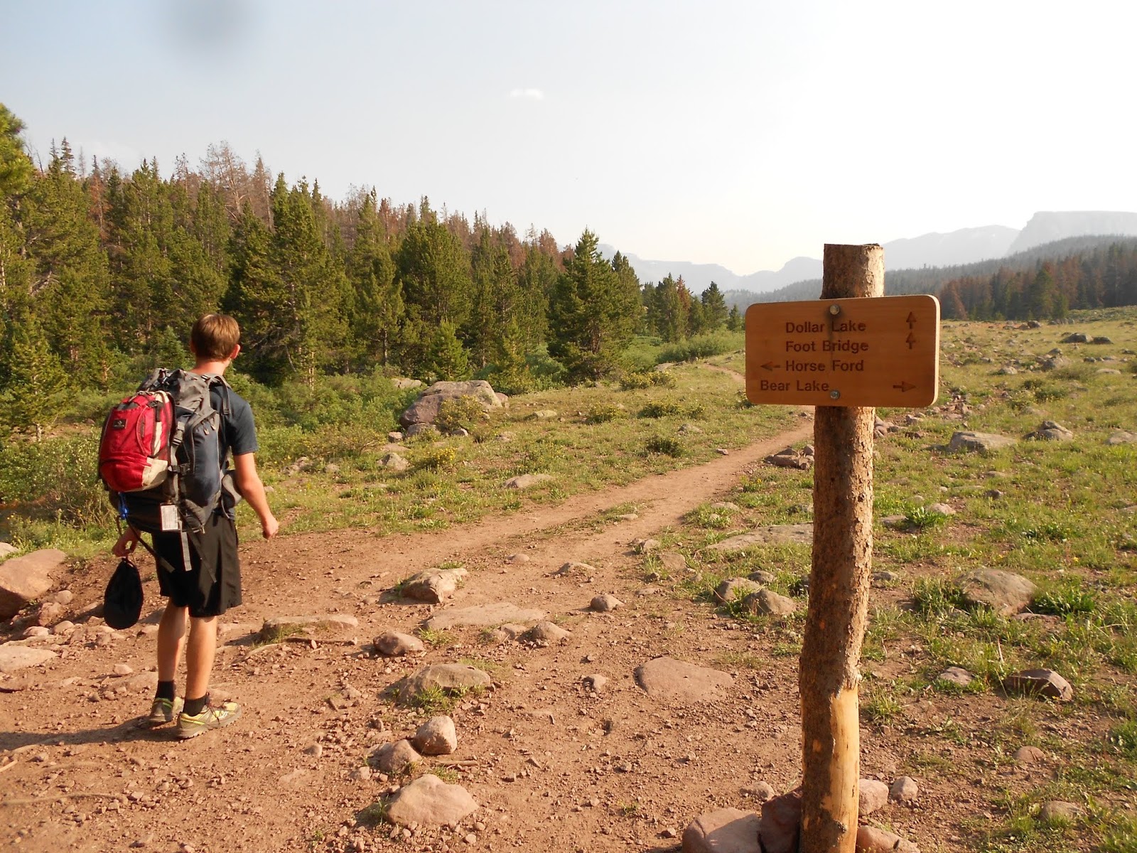
We joined
the group about 8 miles in at a spot to the southwest of Dollar Lake and set up
our tent. Then Josh started dinner in our GSI Dualist Cook Set. In fact, he cooked our dinner every night
this trip!

We all woke
up fairly early the next morning and started the second leg of our journey. An
estimated 5.1 miles to the top of Utah. We followed the Henry's Fork trail up
to Gunsight Pass. This was our first real ascent. Fortunately, there is a
switchback here so the elevation gain wasn't so steep. At the top of Gunsight,
there is a HUGE cairn. As most do, I also placed a rock on the pile, adding to
its immense size.
From
Gunsight Pass, there are options. You can take the trail down into Painter's
Basin, follow it around and back up to Anderson Pass. Or you can take the
shortcut and shave about 2 miles each way. In the photo below, you can see the
main trail just past the boys. The shortcut heads to the bottom edge of the
snow field and continues southwest. You need to follow the cairns up, over, and
across towards Anderson Pass. There is quite a bit of scrambling here.

We made it
up and over the shortcut and headed to the top of The Chute. We could actually
see our camp a few miles to the north.


We hiked a
little further West to Anderson Pass. Here we could see up to the summit of
Kings Peak. We stopped here for lunch and to get a little more
acclimatized to the higher altitude of 12,680 feet. One of the boys was not
feeling well and was a little dizzy. Without hesitation, Brian decided to head
back down to a lower elevation with him. He was much better by the time we
caught up with them back at Base Camp.

After lunch,
we made the final push to the summit at 13,828 feet. We could see a number of
people already there. I estimate that we shared the top with about 15 people
that day.

Below:
Ethan, Christian, Robert, Rudy the Dog, Matt and Josh on the summit.

Heading
down, we decided that we could head straight down the eastern boulder field to the
basin just below the Chute and Anderson Pass. We did. There was a lot more
traveling over the boulders than we thought. We headed for a patch of snow to
cool off. Rudy laid in the snow and didn't want to leave. Just below this snow,
we captured melt water and treated it with Aquamira Drops for the rest of the trip down.

Once at the
bottom, the boys walked over to a nice little unnamed ephemeral pond not far
from our camp to cool their feet. The large rock was in the center of the pond
and there was a trail of rocks to it.

Some apres climb card playing...

And on
Sunday, we hiked out. We woke up to a cloudy and gloomy morning and got just a
little sprinkle of rain just after we left camp. In all, our trip was 3 days
and 27.2 miles long round trip.

Below:
Carson, Christian, Josh, Robert and Ethan.

Here is an
amazing video that Matt created of this trip.
So....Where
do you camp?
Comments
Post a Comment